
Temple Image with GPS coordinates. Click for a larger version.
The GPS system is increasingly important to photography. It will help you figure out where you took some of your more obscure photos and help you caption your photos. More and more photo editors want GPS information for the photos they publish. A GPS communicator could save your life. This series will help you learn the ins and outs of GPS, plus keep you and your family safe.
Originally posted Jan. 29, 2016. Updated and re-posted Feb. 11, 2017. Updated November 19, 2025.
“How To” Series: Using GPS in Photography – An Overview
“Where Were You When You Took Those Photos?”
The Why and How of Adding GPS Information To Your Photos
How To Get GPS Coordinates Into Google Earth
Checking the GPS Location Accuracy of Your Camera, Part One
Checking the GPS Location Accuracy of Your Camera, Part Two
Comparing the GPS Accuracy of Three Cameras
Using Google Earth to Find the Name of a Mountain (and How to Get GPS Info Into Google Earth)
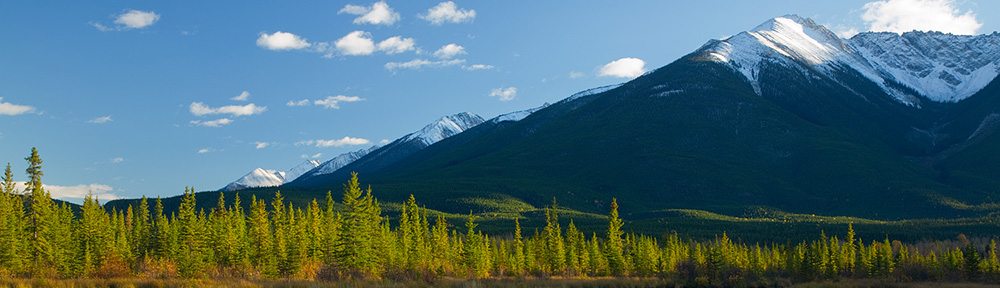
How to Find the Names of Mountains in Your Photographs
Geotagging Aerial Photos: The Joys and Frustrations of Using GPS on an Airplane
Using Google Earth in 3D Mode to Label Aerial Photos
Satellite Communicators: The GPS Messaging Devices That Can Save Your Life
Geotagged Photos: Posting Photos Online Can Put Your Family at Risk
How To Remove GPS Information From Your Photos
Testing the GPS Accuracy of Four Cameras
GPS Variations in Google Earth’s Timed Satellite Images
GPS Test: Canon SL3 & Canon GP-E2
GPS Accuracy Near Tall Buildings
Testing My Satellite Communicator on a Cloudy Day

Google Earth. Yellow Pin: GPS Coordinates. Red X: Actual photo location. Click to get a larger version.