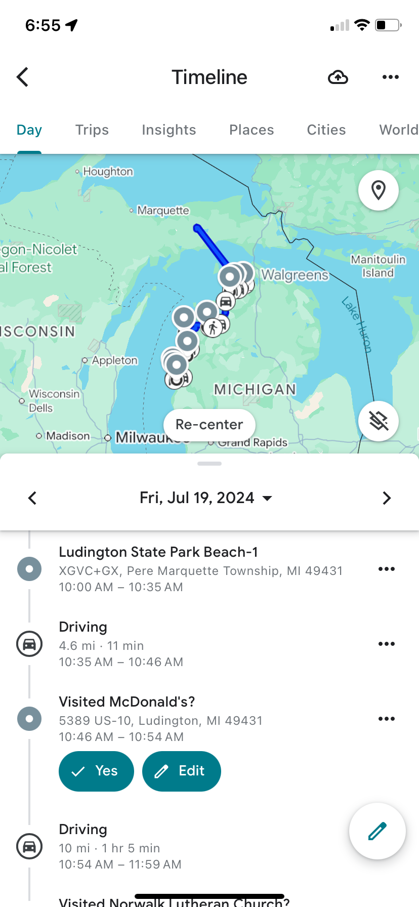
Google maps tracking for July 19, 2024.
If you have the Google Maps app on your phone, you can turn on or off the ability of the app to track your travels. Some people like this and some don’t. You can turn tracking on and off any time you want. The map does not drop bread crumbs that track your exact routes. It draws straight lines between stops. Each round symbol on the map shows one of my stops for the day. Most of these are photo stops but some are for food, gas, or other necessities. By using two fingers on the map on your phone’s screen, you can zoom in or out on the map.
Map with a text description of the beginning of the day.
Below the map there is a list of text descriptions of the day’s driving and stops. The circles in front of the text info coincide with the circles on the map. You can scroll up and down the list. I will give you a few examples from the list and a corresponding photo. My photo day began at Ludington Dunes State Park.
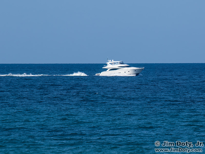
Boat on Lake Michigan, Ludington Dunes State Park.
After taking pictures at Ludington Dones and the boats on Lake Michigan, I headed north.
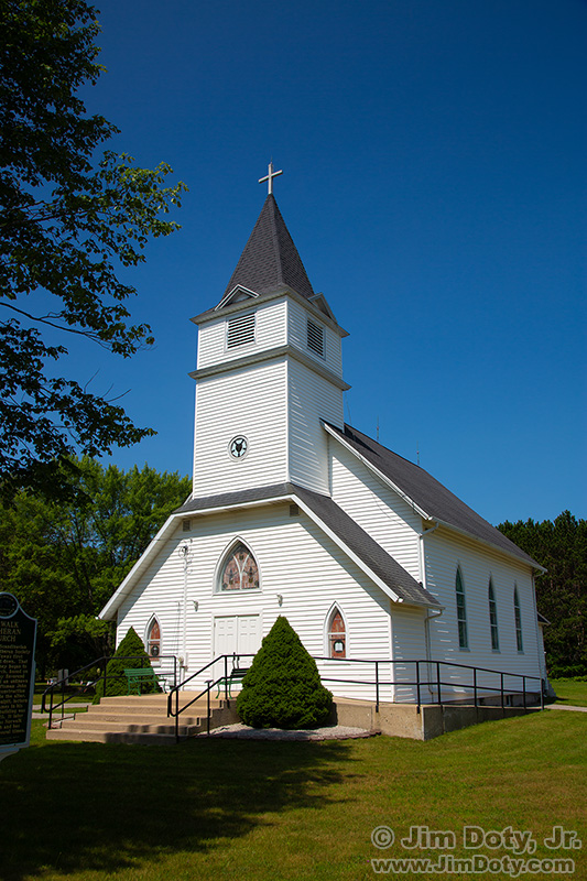
Norwalk Lutheran Church, Manistee Michigan.
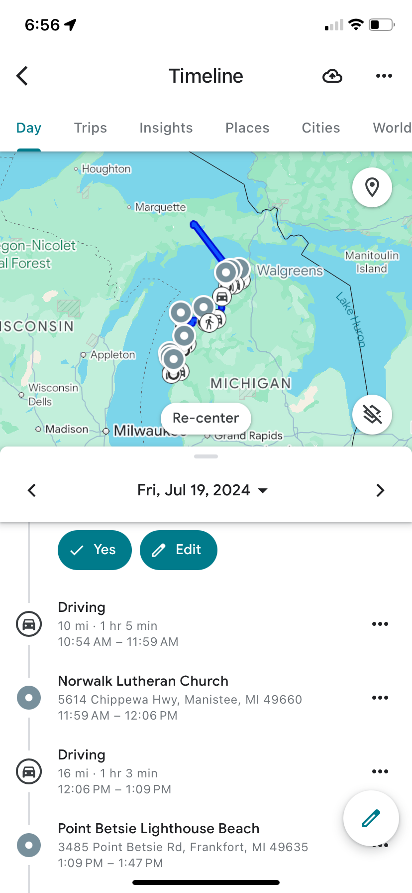
Map and text. Stops at the Norwalk Lutheran Church in Manistee Michigan and Point Betsie Lighthouse near Frankfort.
The Norwalk Lutheran Church is a new photo stop for me. I have been to Point Betsie Lighthouse before.
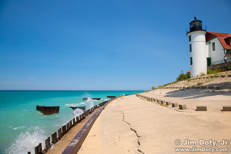
Pt. Betsie Lighthouse, Frankfort Michigan.
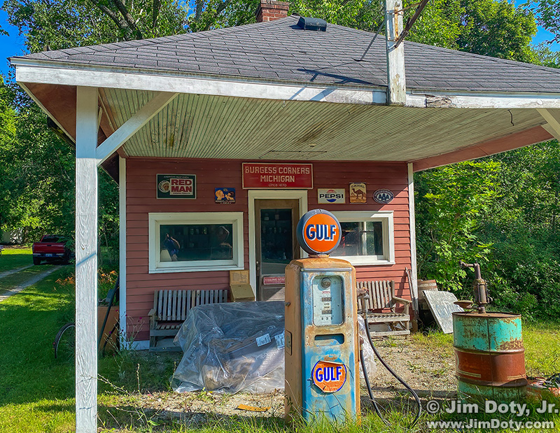
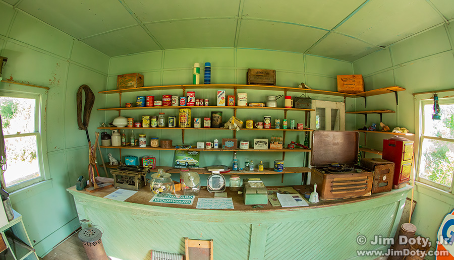
Store and filling station, Burgess Corners, Michigan
This old country store and gas station at Burgess Corners was built in the early 1920s. This is a favorite photos stop and I took one of my photo workshops here. There used to be a cool and very old car parked next to the store but it was gone on this trip.
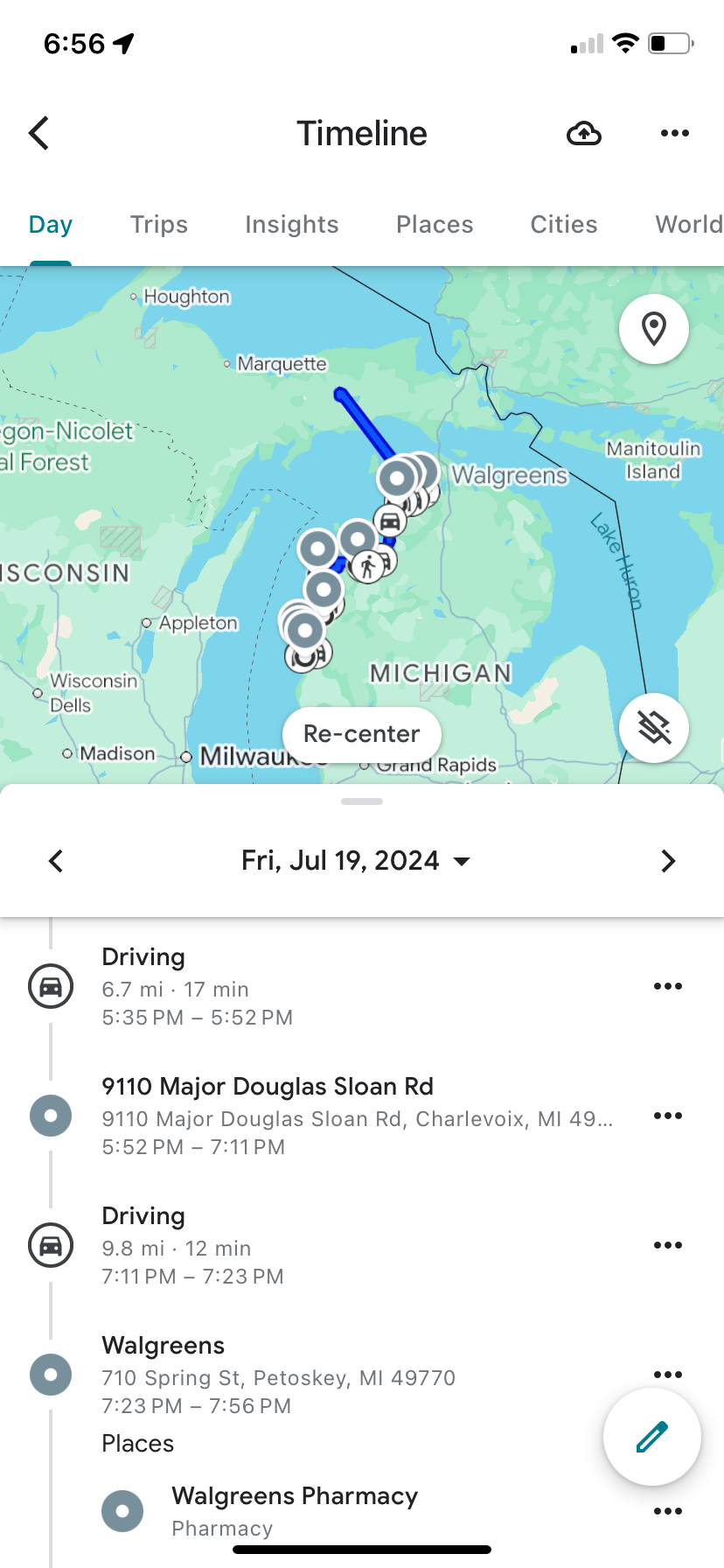
Google maps tracking.
This location is Burgess Corners on most maps so I don’t know how Google maps tracking came up with “9110 Major Douglas Sloan Road, Charlevoix Michigan” for the location since that address is about a mile away from the store. The charming little tourist town of Charlevoix Michigan is a few miles to the west in between Lake Charlevoix and Lake Michigan.
Store and filling station, Burgess Corners, Michigan
The old store is open for the public to visit and they have items typical of the time period inside the store. To find this store see the Burgess Corners article linked below.
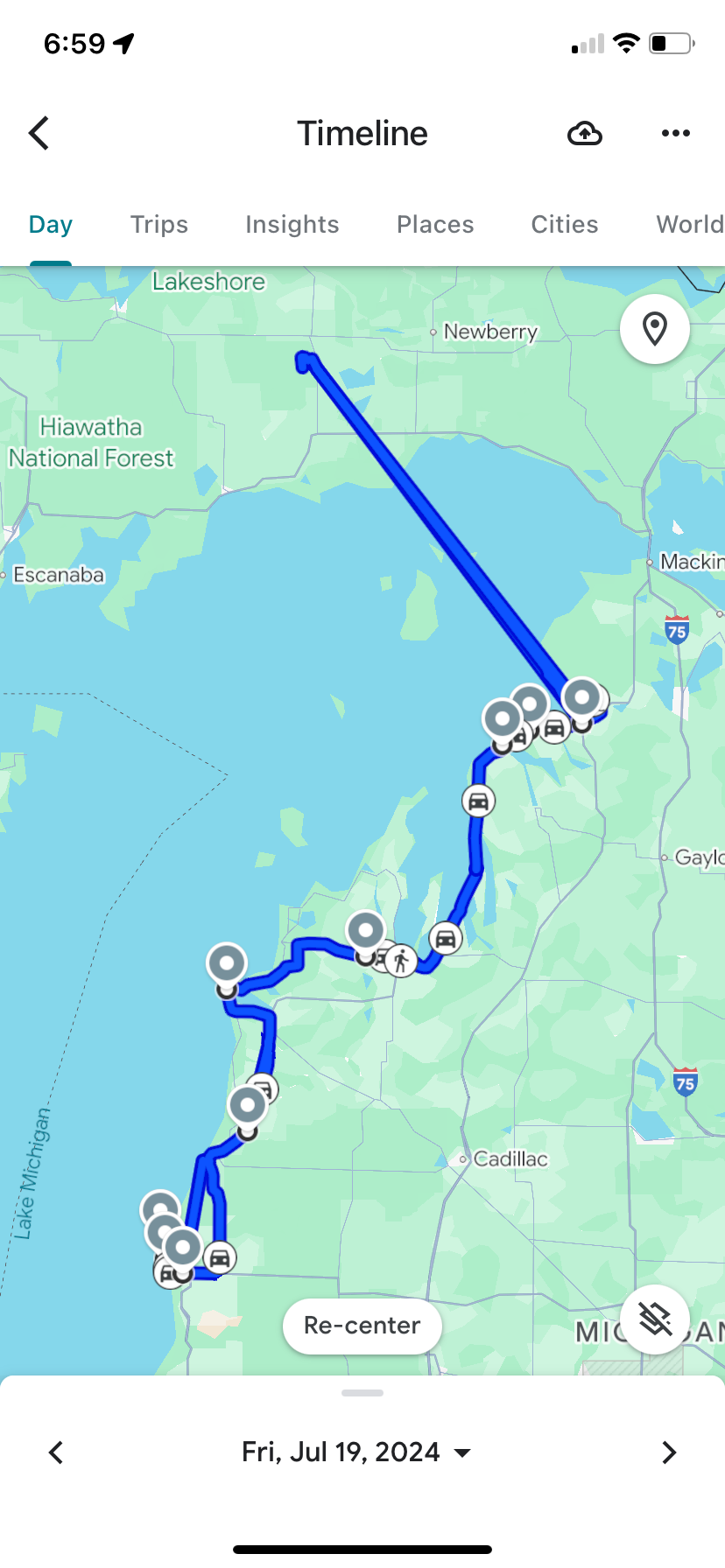
Google maps tracking for July 19, 2024.
There are places where phone signals are weak or non-existent in Northern Michigan and the Upper Peninsula. I actually crossed the Mackinac Bridge on this trip, but I did not stop, so Google maps drew a straight line to my last stop for the night in Germfask Michigan.
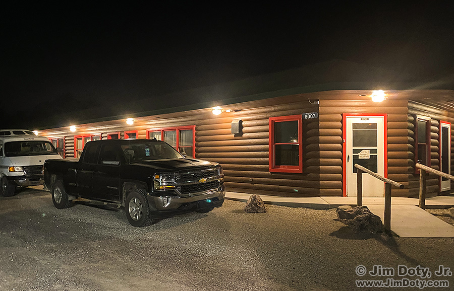
Grizz Lodge, Germfask Michigan.
I stopped for the night at Grizz Lodge, my favorite place to stay in Germfask (and the only place to stay). This motel has changed names and owners a few times over the years. They serve great meals at the place next door.
The next morning I went to Seney National Wildlife Refuge just north of Germfask. It is one of the “crown jewels” of our national wildlife refuge system and it is one of my favorite photographic places on the planet. I have been going to Seney since the 1990s.
Link
Burgess Corners Michigan: Grocery Store and Filling Station
Photography Workshop Field Trip Day (which included Seney)