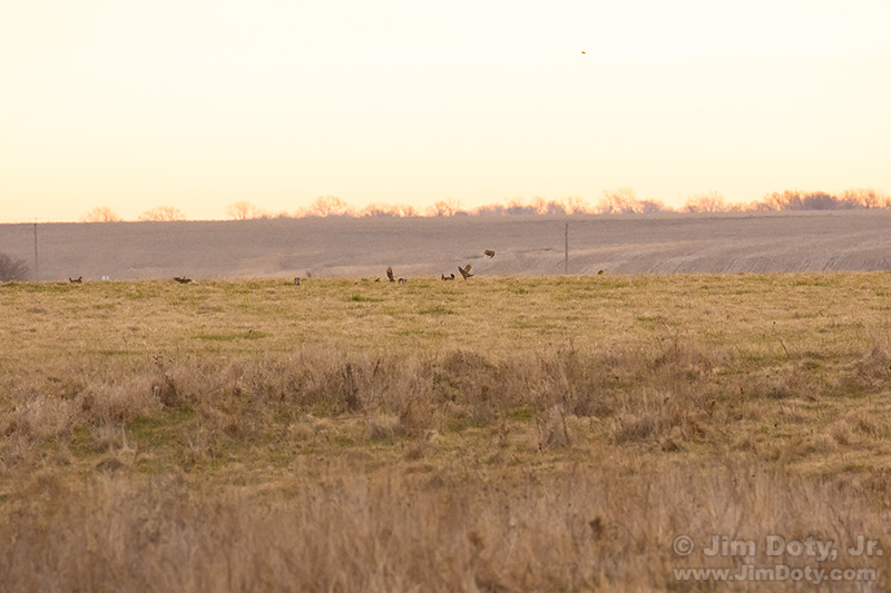
I figured it was pretty much an exercise in futility to try and photograph prairie chickens that were over 400 yards away, but I did it anyway. Why not? You have nothing to lose. If the photos don’t come out, no one needs to see them. Or they might end up being an illustration for a blog article (wink).
In any case, I was curious. So I put my camera and lens on a tripod and gave it my best shot. The image above is a full frame capture.
I used a Canon 100-400mm zoom lens at 400mm. It was mounted on a Canon 7D Mark II which has a 1.6x field of view crop. That means what I was seeing in my viewfinder was the same as putting a 600mm lens on a digital camera with a full frame sensor.
Autofocus was iffy at that distance. So I focused the camera manually in live view mode with a magnified image
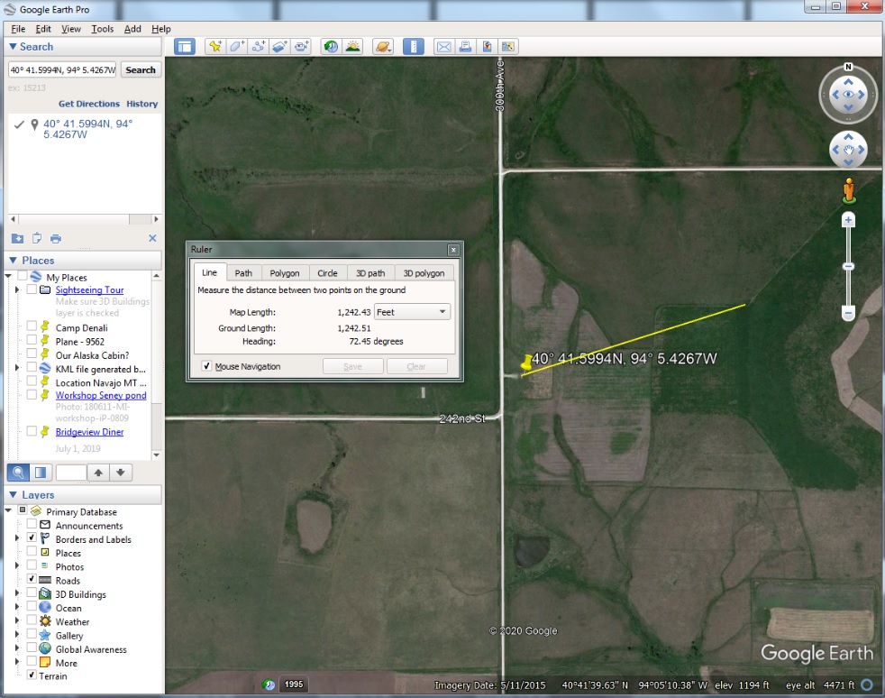
So how did I figure out how far away the prairie chickens are? In this case it was simple because they were on the crest of a distant ridge. Sometimes they went out of sight if they went over the far side of the ridge. All I had to do was go to Google Earth Pro (which is a free download) and use the ruler tool to determine the distance from my location to the top of the ridge. Google Earth shows you the elevation of your cursor so it was easy to find the ridge line.
I was generally pointing my camera in an ENE direction. I used the GPS metadata from my camera files to put a yellow pin at my location. In this case that wasn’t strictly necessary since I was on an observation deck that is easy to spot in the satellite image. So I chose Tools > Ruler, clicked on my camera location and then drew a line northeast until I hit the highest elevation which was the crest of the ridge where the prairie chickens were at. Then I clicked that spot. Google Earth Pro came up with 1242 feet which is 414 yards. That distance is a bit approximate of course.
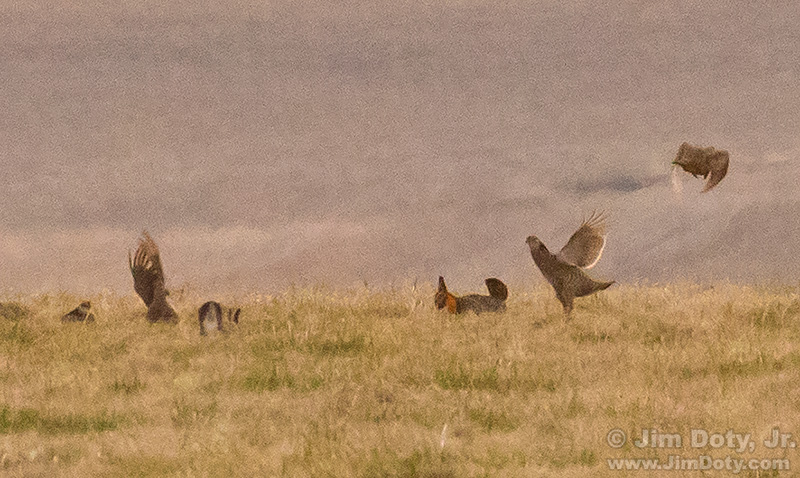
So how does the image look if I zoom in?

I zoomed in with Photoshop to 100%, “actual pixels”. That means one pixel in the digital file is shown as one pixel on the computer monitor. This is how the center of the image looks. It’s not great, but it is better than I expected. I can see the inflated, orange air sac on this side of the male’s neck and the extended wing tip feathers on two of the prairie chickens.
This image isn’t going to end up at Audubon, but I had a fun morning watching the breeding behavior and listening to them “booming”.

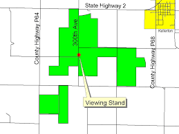
The Bird Conservation Area includes large tracts of land southwest of Kellerton Iowa. Go west of Kellerton on Iowa 2, and turn south on 300th Ave. to drive through the largest area and get to the viewing platform. The breeding area is to the east. Bring a long lens and/or binoculars or a spotting scope.
Links
Field of View Crop in Digital SLRs
How To Get Critical Focus in “Live View” Mode with a Magnified Image

