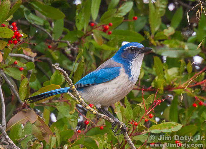
In late February I set out to find the location of my best Western Scrub-Jay photos, taken January 9, 2014. Why? Partly out of curiosity and partly because photo editors are asking for GPS coordinates of the nature and wildlife photos they might publish. 8 years ago my serious cameras did not have built in GPS units.
I created these images while I was driving around one way loop around the parking lot at the visitor’s center of the San Francisco Bay National Wildlife Refuge in Fremont California. But where on the loop, I did not know.
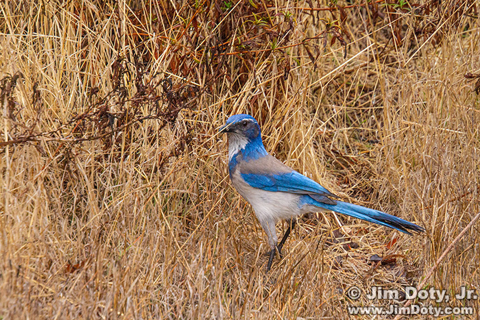
The jay was in a bushy area with red berries hanging from reddish stems, and the bush had narrow leaves. And before it flew up into the bushes I photographed it in a grassy area right in front of the berry bushes. I also knew from the lens I was using (70-300mm at 300mm) and the size of the jay in the frame that the jay and bush was roughly 20-25 feet from my car.
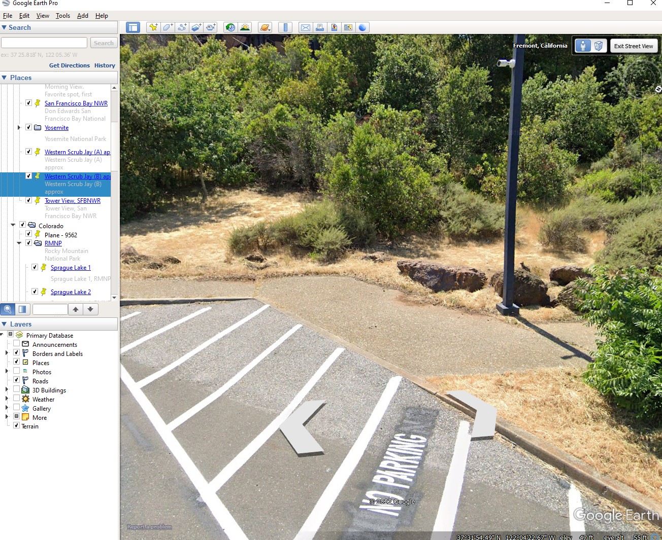
I opened Google Earth Pro, switched to Street View, and “drove” around the parking lot several times, stopping here and there. This image is an example. I would zoom in and look for bushes with narrow leaves. The Google Earth Pro images were created in May 2019 and there were no red berries, so I could not tell which bushes had red berries in early January.
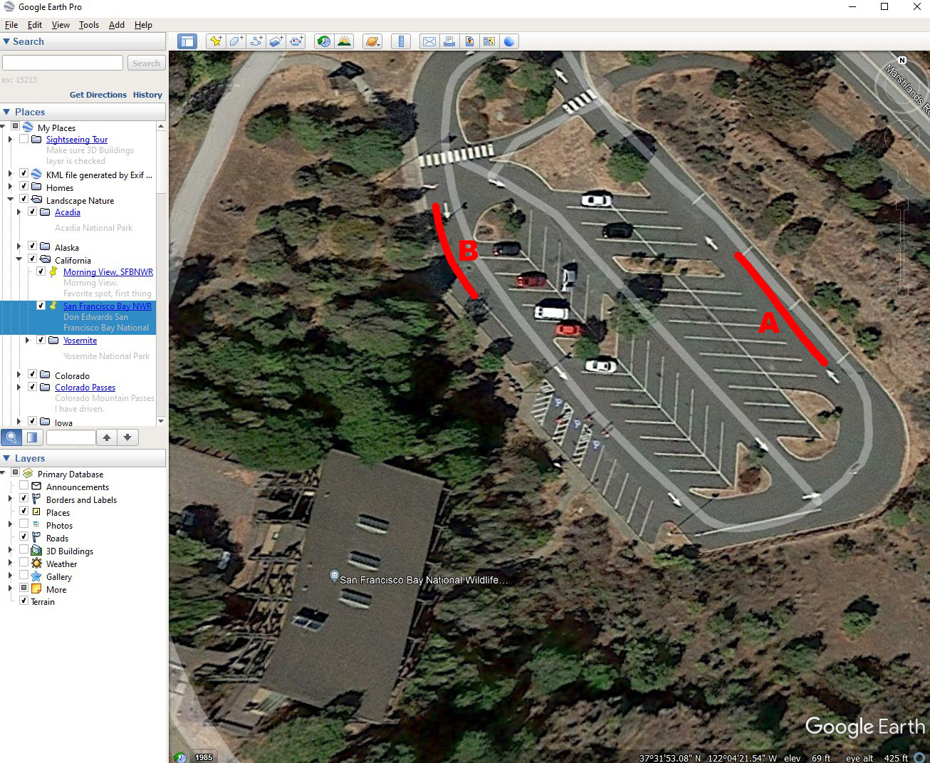
I found two likely areas with bushes with narrow leaves, marked them on a map in red and sent it along with the jay photos to my brother-in-law in Fremont California. I asked asked him if he could find the red berry bushes. He tried. Unfortunately, none of the bushes still have red berries in late February, and several different kinds of bushes have narrow leaves.

Plan B: I sent an email with the photos and the map to the visitor’s center and ask if one of the naturalists could figure it out. I got a nice email back. The red berry bushes are Toyon bushes, native to California coastal areas. The naturalist also marked in blue the area that would be the most likely location of my photo. Mystery solved.
FYI: Google Earth Pro used to be a $300 per year subscription service. Too rich for my blood. When it became a free download with no annual fee, I grabbed it. It has been a very useful tool.
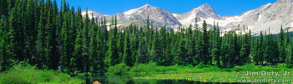
The Don Edwards San Francisco Bay National Wildlife Refuge is one of my favorite places on the planet. It is a great place to photograph shorebirds. Like all prime wildlife locations, every day is different. Some days it is a bird bonanza and some days there is nothing. If you love wild birds and you are in the Bay Area, this place should be high on your “must see” list.
Links
California Scrub Jay – All About Birds
Toyon – California Native Plant Society