
Yellow Pin: GPS coordinates provided by my iPhone. Red X: Actual photo location.
In my last article (on figuring out the name for Antora Peak) I noted the discrepancy between the GPS coordinates provided by my iPhone and the actual location where I took the photo (graphic above). They were off by about 20-30 feet. You can test the accuracy of the GPS information provided by your camera/smartphone. This article will show you how.
Posted Jan. 28, 2016. Updated Jan. 30, 2017.
Click on any Google Earth graphic in this article to get a larger version.
The process is simple. Take a photo with a GPS enabled camera at a location you can easily identify on a map later.

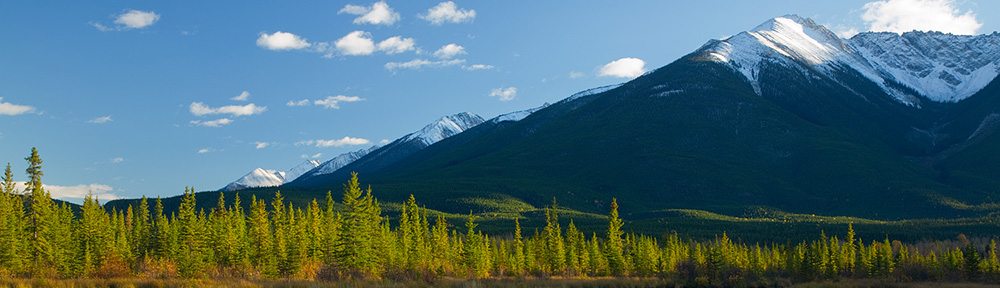
Pond, Marshall Pass, Colorado
Shortly after creating images of Mt. Antora we stopped at a small pond. I wanted to get the GPS coordinates for later reference.

Google Earth location for GPS coordinates of pond photo.
When I got home I dropped the coordinates into Google Earth (this article will show you how) and the location on Google Earth was off from where I was actually standing to take the photo.

Pond, stump (A), and pair of trees (B).
From my photo location on the side of the road there is a stump (A) in the pond that lines up just to the right of a pair of trees (B) standing very close to each other.

Google Earth, stump and trees. Click to get a larger version.
Fortunately for my location project, the stump and the pair of trees show up on the Google Earth satellite image.

Google Earth: stump, trees, and a line to the actual photo location on the side of the road (Red X).
It was a simple matter to look at the Google Earth image and draw a line from the right side of the trees, through the stump to the side of the road to get the correct photo location (X). The distance from the red X to the yellow pin (about 20-30 feet) is how far the GPS coordinates were off in my iPhone. That is about the same distance as the Antora Peak GPS coordinates (graphic at the top).
You can follow the same process and make it much easier by choosing a photo location that is easily identifiable on a map, like a street corner. Take a picture with a GPS enabled camera, drop the GPS coordinates into Google Earth, look at the pin on the map and compare it to where you were actually standing. If you do this more than once, you will discover the GPS accuracy varies from day to day and location to location. On this particular day in Colorado, I was consistently 25-30 feet west of the GPS coordinates provided by my iPhone. On another day (see Part Two) when I was testing GPS accuracy in Texas I was consistently 15-20 feet east of the iPhone’s GPS coordinates.

Several factors will affect GPS accuracy. One is the signal from the satellites. The U.S. Government standard is a “worst case” accuracy of 7.8 meters (about 25 feet) 95% of the time. Atmospheric conditions, your location and the quality of the GPS receiver in your camera can further alter the accuracy of the GPS information.
For most practical purposes, 25-30 feet is close enough.
Links
Checking the GPS Location Accuracy of Your Camera, Part Two
Using Google Earth to Find the Name of a Mountain (and How to Get GPS Info Into Google Earth)