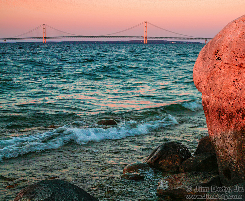
McGulpin Rock and the Mackinac Bridge, October 4, 2006.
I stumbled (not literally) across McGulpin Rock in 2006 quite by accident. I was wandering the Lake Michigan shoreline and there it was. I did not know at the time that it is historically famous. Five years before the Pilgrims landed at Plymouth Rock in 1620, French explorers found McGulpin Rock in 1615.
I was looking for different photo angles with the Mackinac Bridge in the background. In the above image I used McGulpin Rock to frame the the right side of the famous bridge. The shoreline was so close the waves were washing up around my feet.
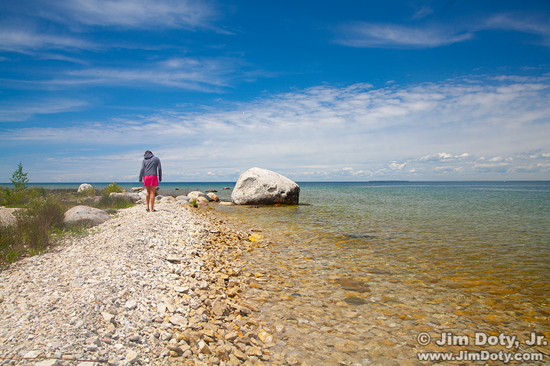
McGulpin Rock, Lake Michigan. June 11, 2009.
I stumbled across this image yesterday (January 15, 2026) while looking for Northern Michigan photos on a DVD. I had forgotten I had this image so I added it to this article. I was at McGulpin Rock in 2009 and took another picture at a different angle looking more to the northwest. The water level is a bit higher than in 2006 and the lake wraps around the rock by a little bit.
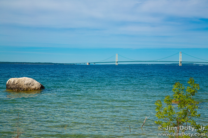
McGulpin Rock and the Mackinac Bridge, June 30, 2019.
In 2019 I was back in Northern Michigan so I went looking for McGulpin Rock again. To my surprise it was out in the lake and half of the rock is under water. The water level in Lake Michigan had risen so the shoreline had changed.
I used Google Earth Pro (a free software download) to look for satellite images that would show the changing shoreline. When you are using the app if you click on the clock icon at the top of the app, Google Earth Pro shows you a timeline of older satellite images that you can look at.
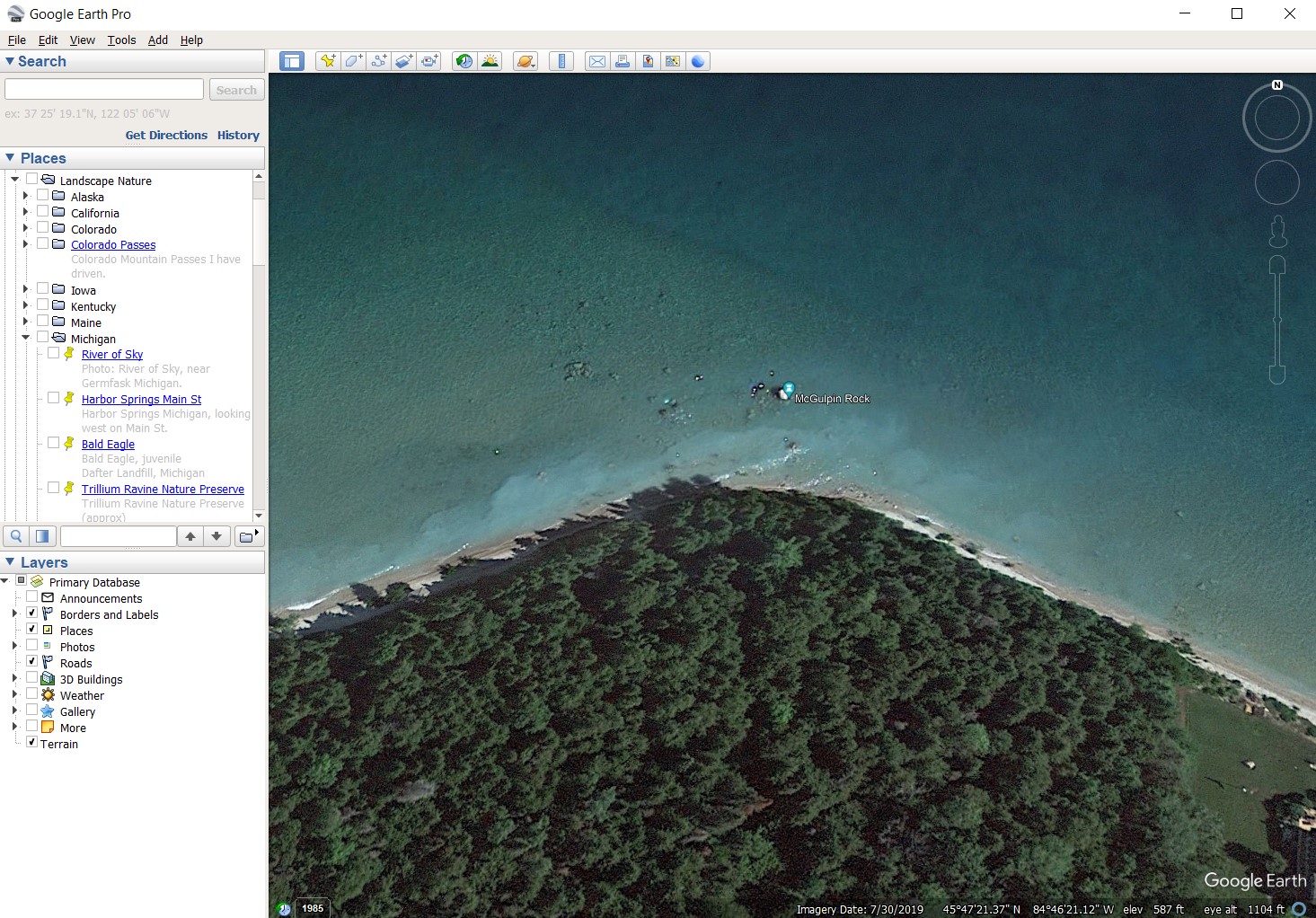
Google Earth Pro, McGulpin Rock, July 30, 2019.
This 2019 satellite image was taken just 30 days after I was there. You can see McGulpin Rock out in the water.

Google Earth Pro, McGulpin Rock, December 31, 2004.
The closest satellite image I could find to my 2006 photo was taken 20 months before my October 2006 visit. The quality of Satellite images from 2004 are not as good as more recent images, but you can still see the shoreline is at McGulpin Rock.
McGulpin Point and the rock is a fun photo location and not far from the Mackinac Bridge.
The story of McGulpin Rock.
Revised and updated January 16, 2026.
Links
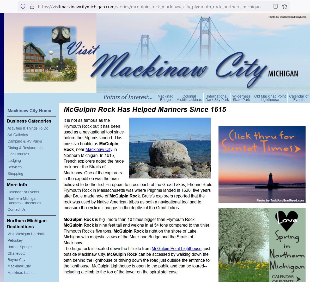
McGulpin Rock Has Helped Mariners Since 1615 (The last time I checked this link was not working. You can see the article in the screen capture above.)